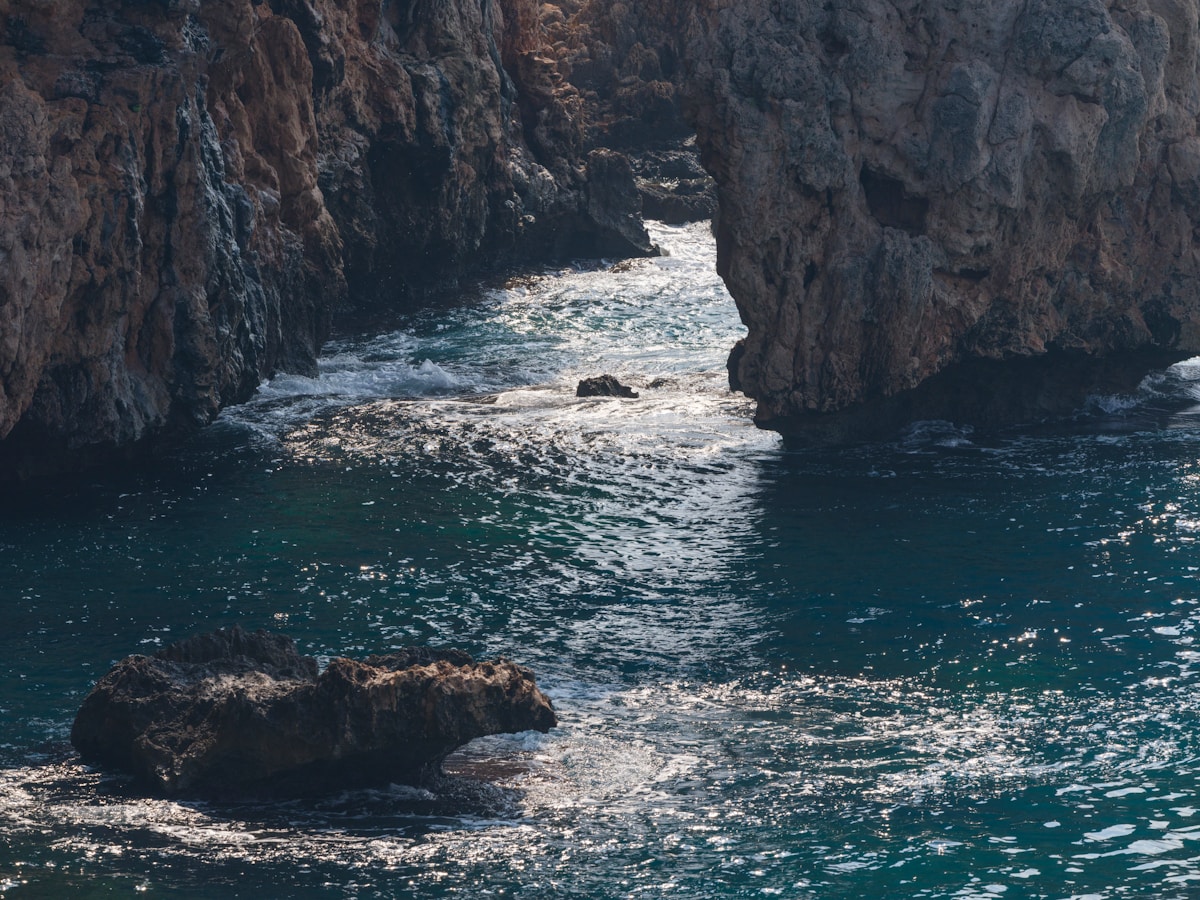
The Lycian Way is a long-distance footpath along Turkey’s southwest coast, running approximately 540km from Ölüdeniz (near Fethiye) to Antalya across the ancient territory of Lycia. First mapped and waymarked by Kate Clow and Terry Richardson in 1999, it was one of the first long-distance trails in Turkey and remains one of the finest coastal walks in the eastern Mediterranean — tracing ruined Lycian cities, Byzantine churches, Ottoman caravanserais, and remote fishing villages along a coastline of limestone cliffs, turquoise coves, and cedar forest.
The trail is officially divided into 29 stages, though the staging is flexible — most walkers design their own sections according to fitness and time available. The western end (Ölüdeniz to Kaş) is the most popular and has the best accommodation infrastructure. The central section (Kaş to Finike) passes through some of the most remote and dramatic terrain. The eastern end (Finike to Antalya) is quieter, lower, and easier.
Route Overview
The trail runs roughly west to east, from the Blue Lagoon at Ölüdeniz to the Antalya old city. The total elevation gain across the route is approximately 27,000m — significant undulation as the path drops to sea level and climbs back to ridge lines repeatedly. The highest point on the trail is approximately 1,800m above the Geyikbayırı valley.
Western section (Ölüdeniz to Kaş — approximately 175km, 7–12 days): The most popular stretch, with the best combination of dramatic scenery and reliable accommodation. Highlights include the ghost village of Kayaköy (abandoned in the 1923 Greek-Turkish population exchange), Butterfly Valley (Kelebekler Vadisi) reached via a steep descent from the ridge, the Tlos ruins, and the ancient Lycian harbour city of Patara with its 18km sand beach. The section between Faralya and Kabak is among the most dramatic cliff-top walking on the entire trail.
Central section (Kaş to Finike — approximately 140km, 5–7 days): The most rugged and remote stretch. Far fewer guesthouses than the western section — camping is essential for some nights. The section passes through Kekova (with its partly submerged Lycian city accessible by boat), the ancient site of Aperlae (reachable on foot from Üçağız), and the dramatic Gelidonya promontory with its lighthouse at the southernmost tip of the route. Carries a genuine sense of solitude.
Eastern section (Finike to Antalya — approximately 225km, 8–14 days): Less dramatic but historically rich. The ruins of Olympos and the eternal flames of the Chimaera (Yanartaş, natural methane seepage igniting on the hillside, burning continuously since antiquity) are among the most memorable stops on the entire trail. The eastern section ends in the Antalya old city (Kaleiçi).
Difficulty and Fitness
The trail ranges from easy coastal walks to serious mountain ascents. Each section carries a different physical demand:
Easy sections (suitable for regular walkers):
- Kaş to Kekova (relatively flat coastal path, well-waymarked, 2–3 days)
- Patara to Kalkan (beach approach and pine-forested ridge, gradual elevation)
- Olympos to Antalya final stages (lower elevation, shorter stages)
Moderate sections (some experience helpful):
- Ölüdeniz to Faralya (steep descent and ascent, spectacular views, 1 day)
- Tlos to Pınara (mixed forest and coastal terrain, approximately 2 days)
- Kekova to Finike (route-finding in places, limited shade, 3–4 days)
Demanding sections (fit hikers only):
- Faralya to Kabak (sheer cliff paths, extreme descents, rocky underfoot, 1 long day)
- Gelidonya promontory approach (exposed ridge, route-finding required, 1–2 days)
- Any sections above 1,200m in the Bey Mountains
Note on footing: Much of the trail crosses ancient Lycian paving stones, uneven coastal rock, and loose scree. Trail shoes with ankle support are strongly recommended; lightweight trainers cause problems on the rougher western sections.
Best Sections for Day Walkers
For those who cannot commit to multi-day trekking, several sections work excellently as day walks accessible from accommodation bases:
From Ölüdeniz: Walk to Butterfly Valley (Kelebekler Vadisi) and back — approximately 5–6 hours return, dramatic cliff-top approach with descent ropes at the end. One of the most photographed sections of the trail. Start at the ridge above Ölüdeniz village.
From Kaş: Walk to Kekova viewpoint or down to Üçağız — approximately 4–6 hours one-way with boat or bus return. Ruined Lycian tombs, coastal views over the submerged city.
From Olympos: The Chimaera walk — a 1.5-hour evening hike to the natural eternal flames (best after dark, when the methane fires glow visibly). Approximately 7km return from Olympos village. Entry fee approximately ₺80–100 (as of 2026).
From Kalkan: Walk the coastal path toward Kaputaş Beach — approximately 3–4 hours one way, with the turquoise slot-canyon beach as the destination. Return by dolmuş (approximately ₺15–30 as of 2026).
Accommodation Along the Trail
Infrastructure varies significantly by section:
Western section (Ölüdeniz to Kaş): The most developed. Guesthouses (pansiyons) are available in or near the trail in Faralya, Kabak, Alınca, Kalkan, Patara/Gelemis, and Bezirgan. Expect simple rooms — concrete block buildings with en-suite or shared bathrooms, breakfast usually included. Prices approximately ₺500–1,200 per person per night as of 2026. In July–August, book ahead.
Central section (Kaş to Finike): Accommodation exists in Kaş (town, wide range), Üçağız (a handful of small family pansiyons, approximately ₺600–1,000/person), and Finike (town, standard hotels). Between these points, camping is often the only option. A lightweight tent and sleeping bag are essential gear for the central section.
Eastern section (Finike to Antalya): Olympos has a well-developed treehouse and pansiyon infrastructure catering to the backpacker circuit (approximately ₺400–900 per person for a treehouse bed including dinner and breakfast). Antalya has the full range of hotels at every price point. Between Olympos and Antalya, options are limited — plan camping or stage carefully to reach Tekirova, which has several guesthouses.
Guided treks with luggage transfer: Companies based in Fethiye and Kaş (including Bougainville Travel, one of the longest-established local operators) offer supported multi-day treks. Guides, accommodation, and luggage transport by vehicle are arranged; walkers carry only a day pack. Cost approximately €80–150/person/day as of 2026 depending on group size and accommodation standard.
What to Pack
Essential:
- Trail shoes or lightweight boots with ankle support (the terrain demands it)
- 3-litre water capacity — springs are marked on the guidebook map but some run dry in summer; villages may be 4–5 hours apart
- Kate Clow’s official guidebook and/or the Wikiloc GPX tracks — the red-and-white trail blazes are mostly reliable but occasional gaps make navigation tools useful
- Sun protection: hat, high-SPF suncream, UV-protection shirt for exposed coastal sections
- Headtorch (for early starts and late arrivals)
- Lightweight sleeping bag liner (for pansiyon beds in shoulder season; full sleeping bag for camping the central section)
- First aid: blister kit, rehydration sachets, antihistamine (local plants and insects can cause reactions)
Optional but useful:
- Trekking poles (significant elevation loss on the cliff sections, saves knees)
- Water purification tablets or filter (for more remote springs)
- Lightweight camp stove if camping the central section
Best Season in Detail
April–May: Best overall. Spring wildflowers cover the coastal hillsides — orchids, poppies, cistus. Temperatures 16–26°C. Water sources running. Some pansiyons still opening for the season in early April.
June: Still good, particularly at elevation. The coastal sections become noticeably warm by late June. Start early (06:00–07:00) on exposed stretches.
July–August: Not recommended for sustained trekking. Heat on exposed coastal sections can be dangerous. Day walkers can manage morning sections with an early enough start, but full-day stages are physically punishing. Springs dry up.
September–October: Excellent. Crowds minimal, temperatures dropping to 20–28°C, guesthouses still open. October brings autumn colours in the cedar forests. The sea is warm for swimming after coastal sections.
November–March: Low season. The western section below 600m is walkable year-round, but guesthouses close progressively from November. The higher sections carry genuine exposure risk in December–February. Winter walkers should have experience of cold-weather camping.
Getting to the Trailheads
Ölüdeniz (western start):
- Fly to Dalaman Airport (DLM) — approximately 45 minutes drive. International charter flights serve Dalaman from major European cities in summer; year-round Turkish Airlines connections via Istanbul.
- From Dalaman: Havataş shuttle to Fethiye (₺150–200 as of 2026), then dolmuş to Ölüdeniz (15 minutes, ₺20–30).
- From Istanbul: Turkish Airlines or Pegasus fly Istanbul to Dalaman (1.5 hours, ₺800–3,000 depending on date).
Antalya (eastern end):
- Antalya Airport (AYT) is a major international hub with direct connections from across Europe and daily domestic flights from Istanbul (1.5 hours). Well-connected by bus to the old city (Kaleiçi) where the trail ends.
Kaş (central access point):
- Kaş is reachable by dolmuş from Fethiye (2.5 hours) or from Antalya (4 hours via Finike). Most visitors base themselves in Kaş for 2–4 nights and tackle day sections in both directions. Kaş has reliable minibus connections along the coastal road.
Permits and Fees
No permit is required to walk the Lycian Way. Some sections pass through forest zones where camping is technically restricted — in practice, wild camping in small groups is tolerated if fires are not lit. The Olympos-Beydağları Coastal National Park covers sections of the eastern trail; entry to the park area costs approximately ₺80–120 (as of 2026). Individual ancient sites along the route (Patara, Xanthos, Tlos) charge separate entry fees of approximately ₺100–200 each as of 2026.